.jpg)
A Little Bit of History
Sourland Mountain spans 7 miles in central New Jersey, extending from the Delaware River at Lambertville to the western end of Hillsborough Township (which is where our hike took place) near the community of Neshanic, through Montgomery Township and into Hopewell Township in Mercer County. There are several different theories as to how "Sourland" receive it's name, one of them being, “sorrel-land” which describes the sorrel (reddish-brown) colored soils encountered by the pioneering German farmers.
Sourland Mountain supported a
thriving peach farming industry. But a blight just before the start of
the 20th century, as wells as a statewide shift to an industrial economy,
eventually crippled agriculture on the mountain. New forests began to grow over abandoned farmland. The
only pre-20th century industry that was able to survive into the modern
era was rock quarrying –the mountain’s trap rock was crushed and used to build railroad beds and roads throughout the region.
For the first half of the 20th century, Sourland Mountain remained a
remote part of New Jersey, with few connections to nearby metropolitan
areas. This changed in the 1940s when new road construction made the
mountain more accessible, allowing suburbia to begin invading its
valleys and slopes. Today the mountain acts as a watershed for surrounding communities,
while at the same time providing recreational opportunities to Central
New Jersey.
The Details
*The map on the Somerset County Parks is an older version, before the red trail-Roaring Brook Trail was put on the map. I was able to locate the updated version on Wikipedia. You can also grab a trail map at the beginning of the trail.
Trail Map: http://en.wikipedia.org/wiki/Sourland_Mountain_Preserve#mediaviewer/File:Sourland_Mountain_Preserve.jpg
Old Map:
http://www.somersetcountyparks.org/maps/SourlandsMap.pdf
Parking: 421 East Mountain Road, Hillsborough, NJ 08844. See Google Maps Location below.
The Hike
We began our hike from the parking lot on E. Mountain Road in Hillsborough. We followed the Ridge Trail (white trail - dashes) for most of our hike. When we hit the Devil's Half Acre Boulder area, we jumped onto the Red Trail - Roaring Brook Trail. When we reached the Roaring Rocks Boulders we headed back on to the Ridge Trail (white trail - dashes) (at location 7 to 6 to 5 on the map). From here we followed the Texas Eastern Pipeline Trail back to the parking lot, passing a small pond right before you reach the lot.
The trek is moderate (factoring in the rockiness and uphill climbs during the trail). There were several remnants of ice patches on the bridges but this was due to the snow storm.
Our hike was 5.09 miles and took us a 2.5 hours to complete, stopping several times for water breaks and pictures.
Check out our adventures below!
 |
Parking on E. Mountain Rd. |
 |
| Beginning the Ridge Trail |


 |
| Having fun on the boulders! |


 |
| Checking out some of views |


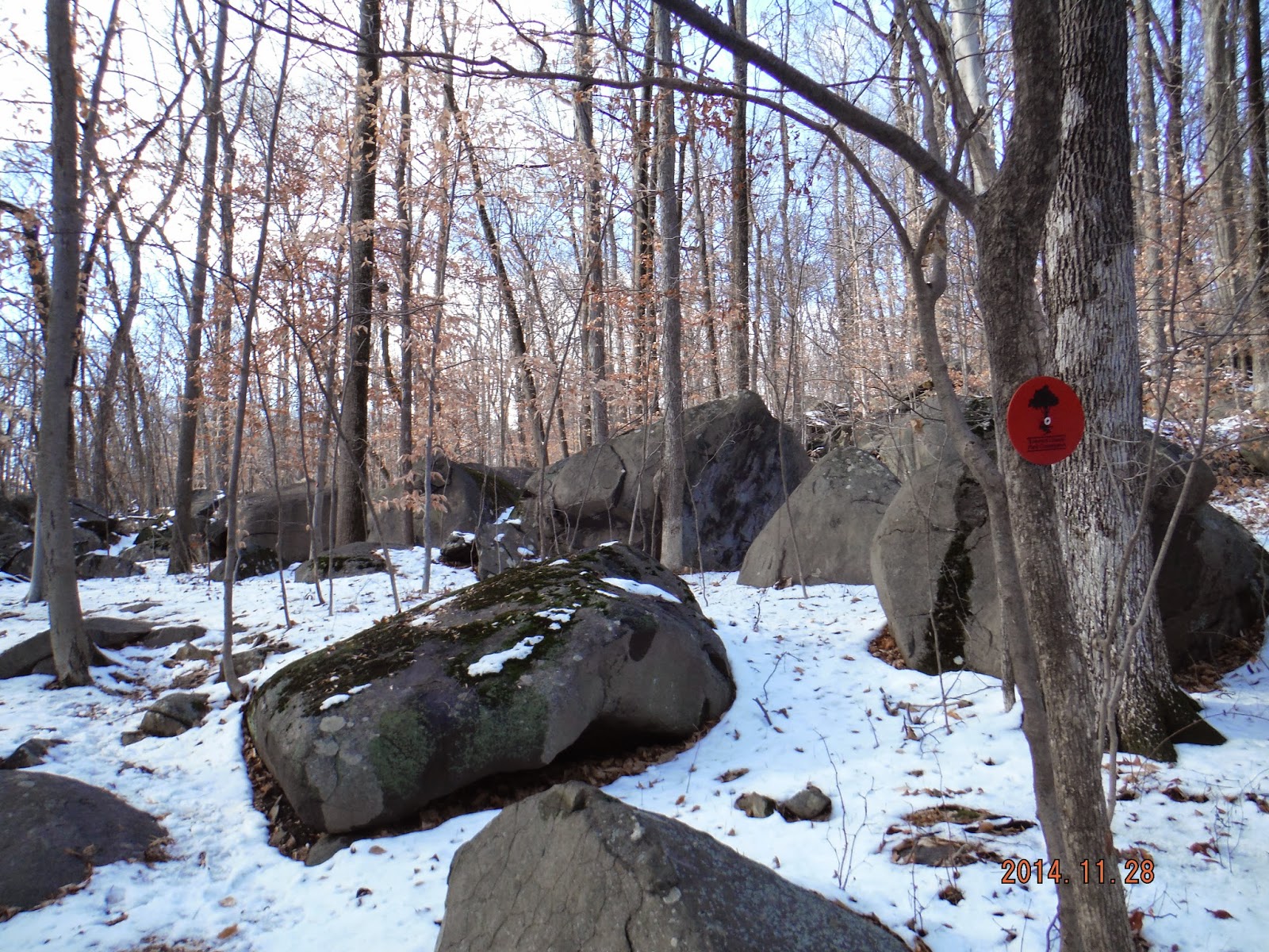 |
| Heading on to the Red Trail |

 |
| Texas Eastern Pipeline Trail |

 |
| Heading back to the parking lot. |
 |
| Pond in front of parking lot |
No comments:
Post a Comment