
If you have a chance, another great spot to check
out is the Washington Rock Lookout which, in the late 1770’s, during the
Revolutionary war, was the location of Beacon Signal Station 9, one of 23
beacons built by General Washington to observe the movement of British troops
quartered on Staten Island and Manhattan. Washington Rock served again as a
lookout for the Army when reactivated during the War of 1812. In the 1970’s, Samuel Campbell, was the first
to dam the river to establish a paper mill.
Campbell’s
Pond, located on the Rahway Trail (White) carries his name.
The design of South
Mountain was finalized by the Olmsted
Brothers (the same brothers who designed Central Park)
in stages over the years and a good deal of construction work was carried out
by the Civilian Conservation Corps in the 1930s. An interesting fact about the Olmsted Brothers
is that, in addition to South Mountain Reservation, they designed 10 other
parks/nature areas in New Jersey
and several other locations throughout the tri-state area.
The Details
Trail Maps: South Mountain Reservation Trail Map
See below for Google Maps location.
View Larger Map
This hike is a little difficult to follow in the beginning of our trail. Unfortunately, the maps that are online are not so great for this trek. We tried to take a picture of the colored map that is posted on the hike but you will see what happened below. Right where you park there are two trees that have white ribbons tied around them. According to the trail map this is called a "foot path". You follow the foot path to the Lenape Trail (Yellow). The Lenape Trail is much easier to follow along once you reach it!
The trek is moderate. There are some some rocky sections and the steps at Hemlock Falls are pretty steep. Other than that, many of the trails are paved and covered with leaves at this moment!
Our hike was 4.3 miles and took us a little of 2 hours to complete.
Check out our adventures below!

Parking Area on Bear Lane
.jpg)
The entrance to the Foot Path
(white ribbon on tree)


First traces on snow this season!!

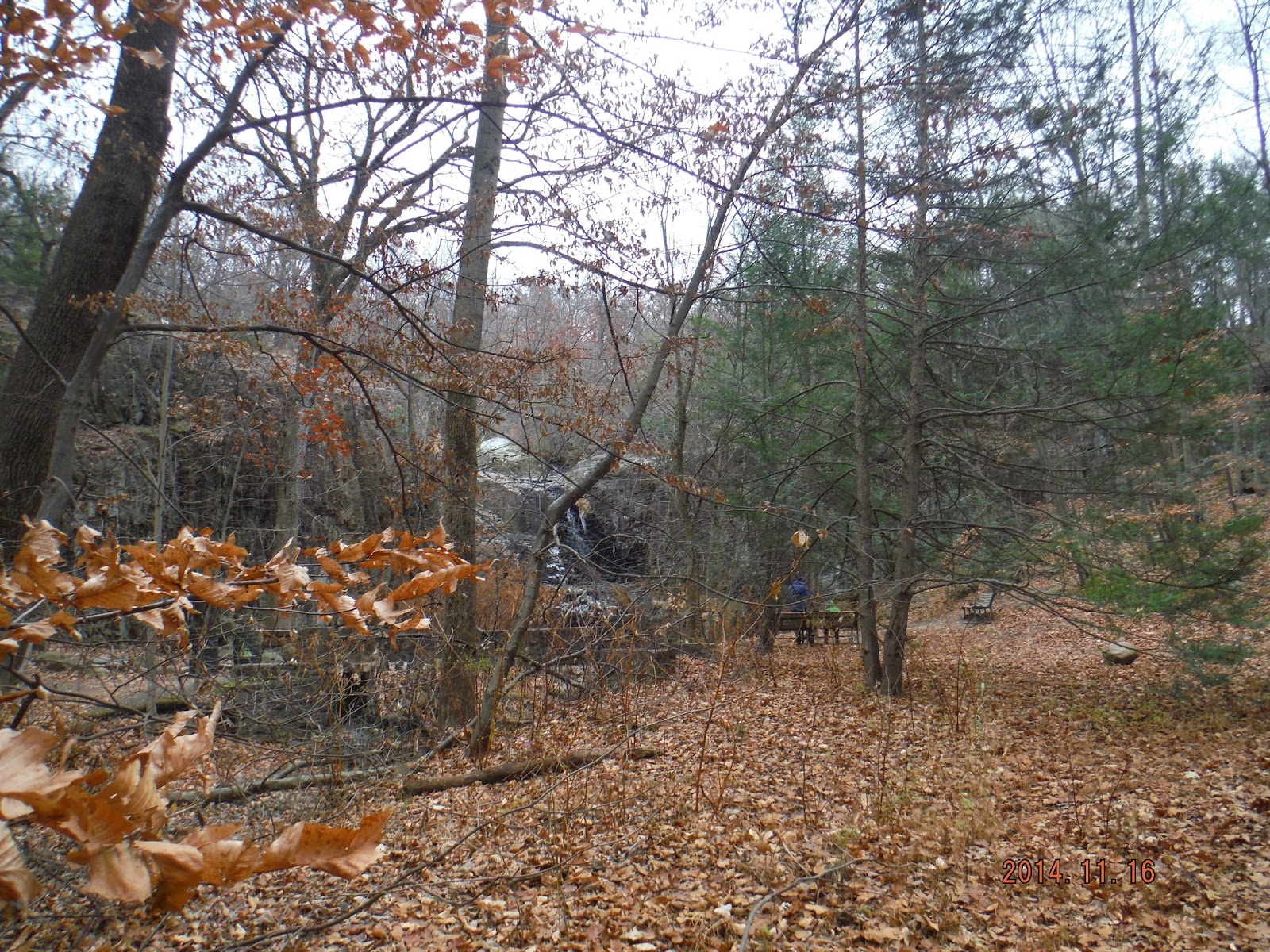
Coming down the mountain towards Hemlock Falls


It was chilly but Piper still took a dip to fetch her stick!

Hemlock Falls

.jpg)
Up the stone stairs following the waterfall up

Great views at the top!


Playing around!


We were going to take a picture of the colored map but unfortunately someone cut it out...such a shame. I hope it is replaced soon...


Heading back to the car!
No comments:
Post a Comment